- Engels
- Study
- nature & science
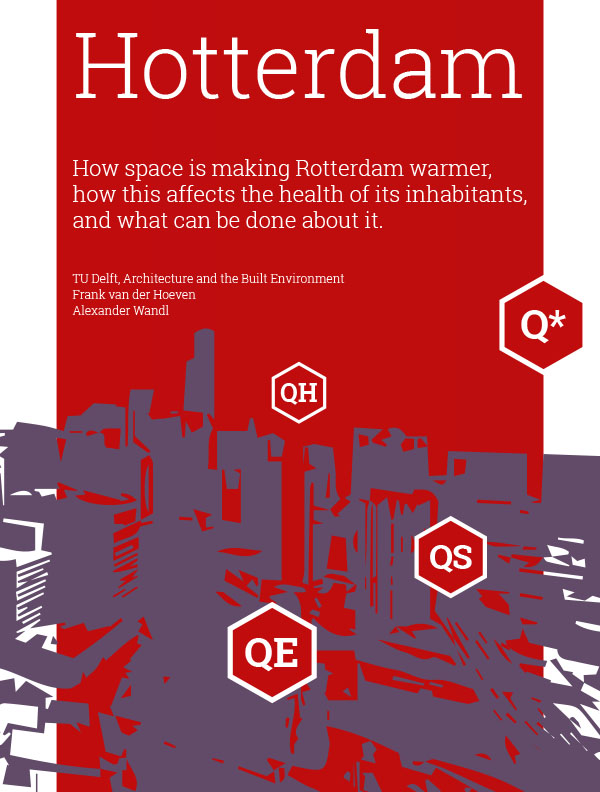
- HOW SPACE IS MAKING ROTTERDAM WARMER, HOW THIS AFFECTS THE H
HOEVEN, FRANK VAN DER
HOW SPACE IS MAKING ROTTERDAM WARMER, HOW THIS AFFECTS THE H
19,95incl BTW
Vertrouwd sinds 1927
Persoonlijke aandacht en advies
Vanaf 17,50 gratis verzenden NL & BE
Meer dan 150.000 artikelen online
Omschrijving HOW SPACE IS MAKING ROTTERDAM WARMER, HOW THIS AFFECTS THE H
Heat waves will occur in Rotterdam with greater frequency in the future. Those affected most will be the elderly - a group that is growing in size. In the light of the Paris heat wave of August 2003 and the one in Rotterdam in July 2006, mortality ra
tes among the elderly in particular are likely to rise in the summer.
Method
The aim of the Hotterdam research project was to gain a better understanding of urban heat. The heat was measured and the surface energy balance modelled f
rom that perspective. Social and physical features of the city we identified in detail with the help of satellite images, GIS and 3D models. We determined the links between urban heat/surface energy balance and the social/physical features of Rotterd
am by multivariable regression analysis. The crucial elements of the heat problem were then clustered and illustrated on a social and a physical heat map.
Results
The research project produced two heat maps, an atlas of underlying d
ata and a set of adaptation measures which, when combined, will make the city of Rotterdam and its inhabitants more aware and less vulnerable to heat wave-related health effects.
Conclusion
In different ways, the pre-war districts o
f the city (North, South, and West) are warmer and more vulnerable to urban heat than are other areas of Rotterdam. The temperature readings that we carried out confirm these findings as far as outdoor temperatures are concerned. Indoor temperatures
vary widely. Homes seem to have their particular dynamics, in which the house''s age plays a role. The above-average mortality of those aged 75 and over during the July 2006 heat wave in Rotterdam can be explained by a) the concentration of people in
this age group, b) the age of the homes they live in, and c) the sum of sensible heat and ground heat flux.
A diverse mix of impervious surfaces, surface water, foliage, building envelopes and shade make one area or district warmer than ano
ther. Adaptation measures are in the hands of residents, home owners and the local council alike, and relate to changing behaviour, physical measures for homes, and urban design respectively.
Specificaties
- MerkBK Books
- GroepEXACTE WETENSCHAP (910)
- Barcode9789461865120
- LeverstatusActief
Reviews
0.0/5.0
Gemiddelde uit 0 reviews
Meest behulpzame reviews
Nog geen reviews geschreven


