- Engels
- Pockets
- kunst algemeen
- bouwkunst, archit.
- PEARL -RIVER -DELTA: SCALES, TIMES, -DOMAINS
XIONG, LIANG
PEARL -RIVER -DELTA: SCALES, TIMES, -DOMAINS
29,95incl BTW
Vertrouwd sinds 1927
Persoonlijke aandacht en advies
Vanaf 17,50 gratis verzenden NL & BE
Meer dan 150.000 artikelen online
Omschrijving PEARL -RIVER -DELTA: SCALES, TIMES, -DOMAINS
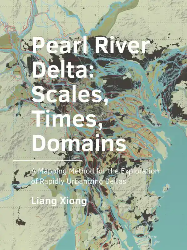
The research aims to provide an understanding of an urbanizing delta in which different scales, times, and domains are related to each other; and to examine how this understanding can be used in a planning and design process in a rapidly urbanizing
delta. A mapping method is developed according to the key notions in the understanding of urban deltas, namely its systems, scales, and temporality. The systematic mapping approach was used to organize and analyze both short-term and long-term sp
atial data during the rapid delta urbanization processes by transforming spatial data via scales, times, and domains. The mapping approach works with insufficient data, which is often the case in a rapidly changing environment, to identify spatial
challenges from a long-term perspective.
Applied in the Pearl River Delta, the knowledge of the development of the urban landscape had been inventoried, synthesized, and presented in its own spatial-temporal model using maps. Three types of pr
ocesses (landscape formation, infrastructure extension, and urbanization) were identified according to their speeds. Spatial interactions were illustratively explained on both the delta scale and local scale from 4000 BC to the present with a time
extent ranging from 2000 years to 50 years. The intervention of this mapping framework was applied and evaluated in terms of design, decision-making, and education, and the insights gained were used to discover new possibilities and strategies for t
he delta.
Specificaties
- MerkBK Books
- GroepKUNST ALGEMEEN (640)
- Barcode9789463663410
- LeverstatusActief
Reviews
0.0/5.0
Gemiddelde uit 0 reviews
Meest behulpzame reviews
Nog geen reviews geschreven


